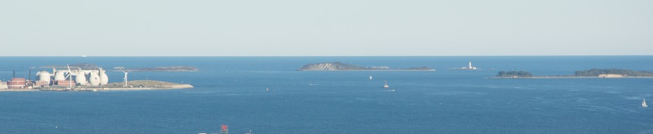
The beautiful oceanside town of Scituate, MA makes a great day trip from Boston Harbor. In addition to the scenic Scituate Harbor, another major boating attraction is “The Spit” which is a beach on the North side of the North River Inlet. This is located at the very south end of Scituate and is a place where South Shore boaters frequently congregate on weekends. This year, down on the Scituate Driftway, there is a new wind turbine, which makes for a great reference point for navigating in Massachusetts Bay given its huge size and visibility from many miles offshore.
Scituate Harbor in peak summer season:


If you tie up in the Scituate Harbor, there are several transient slips available at the Scituate town marina. For day boater, the inner harbor has a good boat ramp as well. If you go further down the coast to The Spit, it can be a fun place for a picnic or party, but watch that current. Its tough to dock a boat with the heavy crowds and fast moving current. Safety first!!! From Boston Harbor, The Spit is about a 25 mile trip, with the main Harbor slightly closer.
Scituate Inner Harbor:


Scituate’s Charter Fishing Fleet:

Scituate Light House and Breakwater:


Looking East over the North River, toward The Spit at dusk:

Navigating from Boston Harbor:
From the Boston Inner Harbor, The Spit is approximately 25 miles, with the Scituate Harbor being about two miles closer. Upon leaving the Outer Harbor through Nantasket Roads, head Southeast toward Minot Light, carefully observing all markers and keeping the lighthouse to starboard as you go. Scituate Harbor’s entrance is clearly visible another 2-3 miles past Minot, given its lighthouse and large rock breakwater. Further down, the North River approach is a bit trickier in a current, but is well marked. The entrance is close to the Scituate wind turbine, which is clearly seen many miles out to sea.

The chart images contained herein were obtained by the NOAA and are being used in accordance with their terms of permitted use. Altered and redistributed charts such as those shown below should not be relied on for navigational purposes. Please download the full version from “www.charts.noaa.gov” and please see terms of service at http://www.charts.noaa.gov/RNCs/Agreement.shtml?13270.


