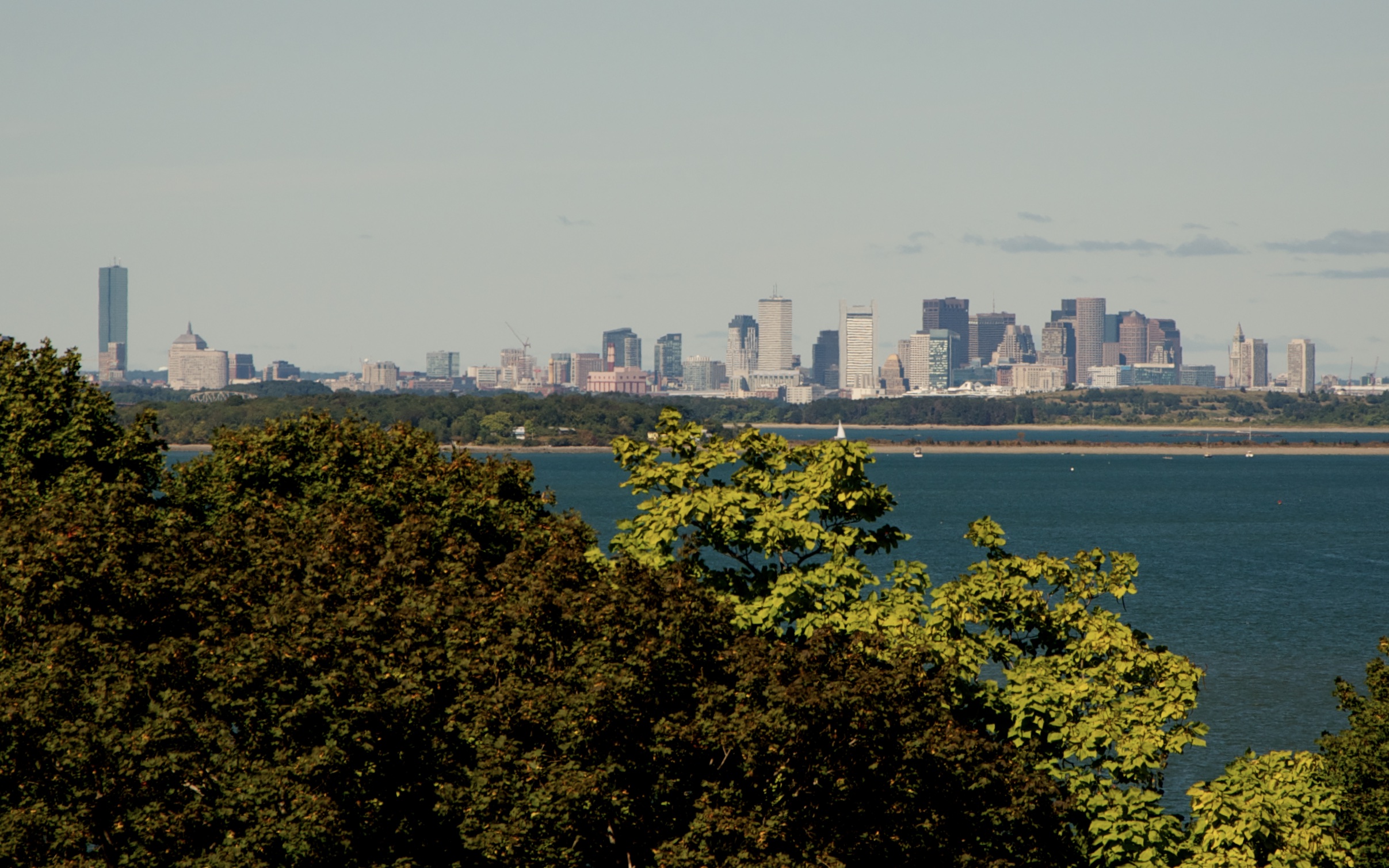
A view if the distant Boston Skyline from World’s End:

The image above is taken from World’s End, a reservation area located at the extreme Southeastern edge of the Boston Harbor.
World’s End is a park and reservation in North Hingham which juts out into Hingham Bay. Originally owned by a farmer named John Brewer, this 250 acre sight was once a farm and at one point was even contemplated as a sight for a nuclear power plant. Thankfully, this land was passed over for residential development and has now been turned into a park operated by the trustees of reservations. Hiking up its large gently sloping drumlins provides a sweeping view of the Boston skyline to the West, the Harbor Islands to the North and the Atlantic ocean to the East. World’s End is accessible on road, but the surrounding waters are popular with boaters as well. Large numbers of boats congregate in this area on summer weekends.
One of the many trails throughout the peninsula:

Looking Northeast, out toward Hull and the Atlantic Ocean:

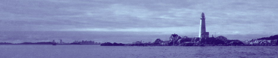
A distant view of the City skyline from the top of the large drumlin on World’s End

Looking Southwest over the field toward the setting sun:

Looking East toward the Weir River Estuary, Nantasket Beach (Hull) and the Atlantic Ocean:

Looking West over the Salt Marshes into a setting sun over Hingham Harbor:

Looking West, toward the “Damde Meddowe”, which intersect with the Weir River. Now returned to its natural state as a salt marsh, this area was once a farmed meadow, created from a large dam across the inlet- hence the name.

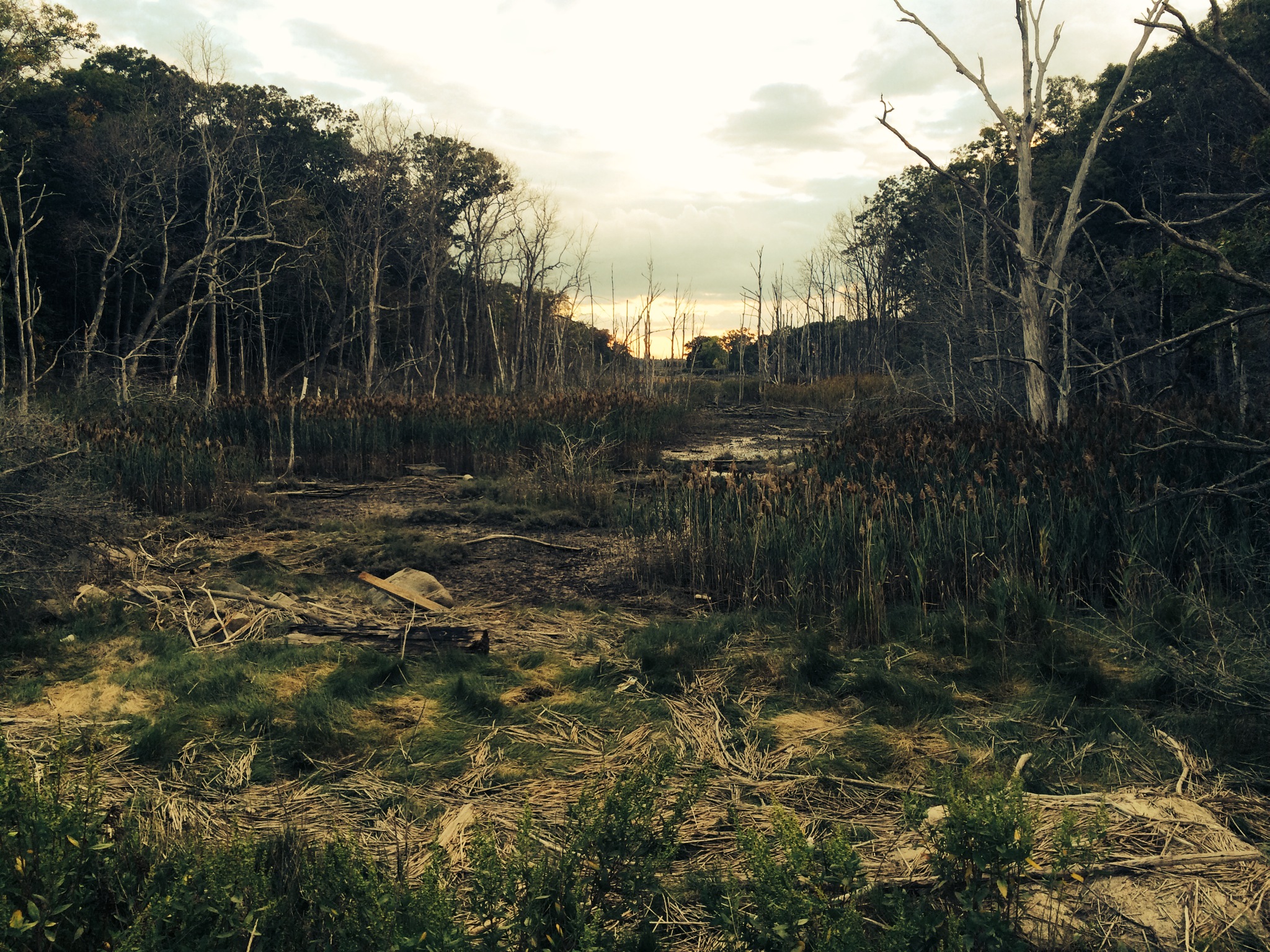
A spooky view of the Meadows at dusk:
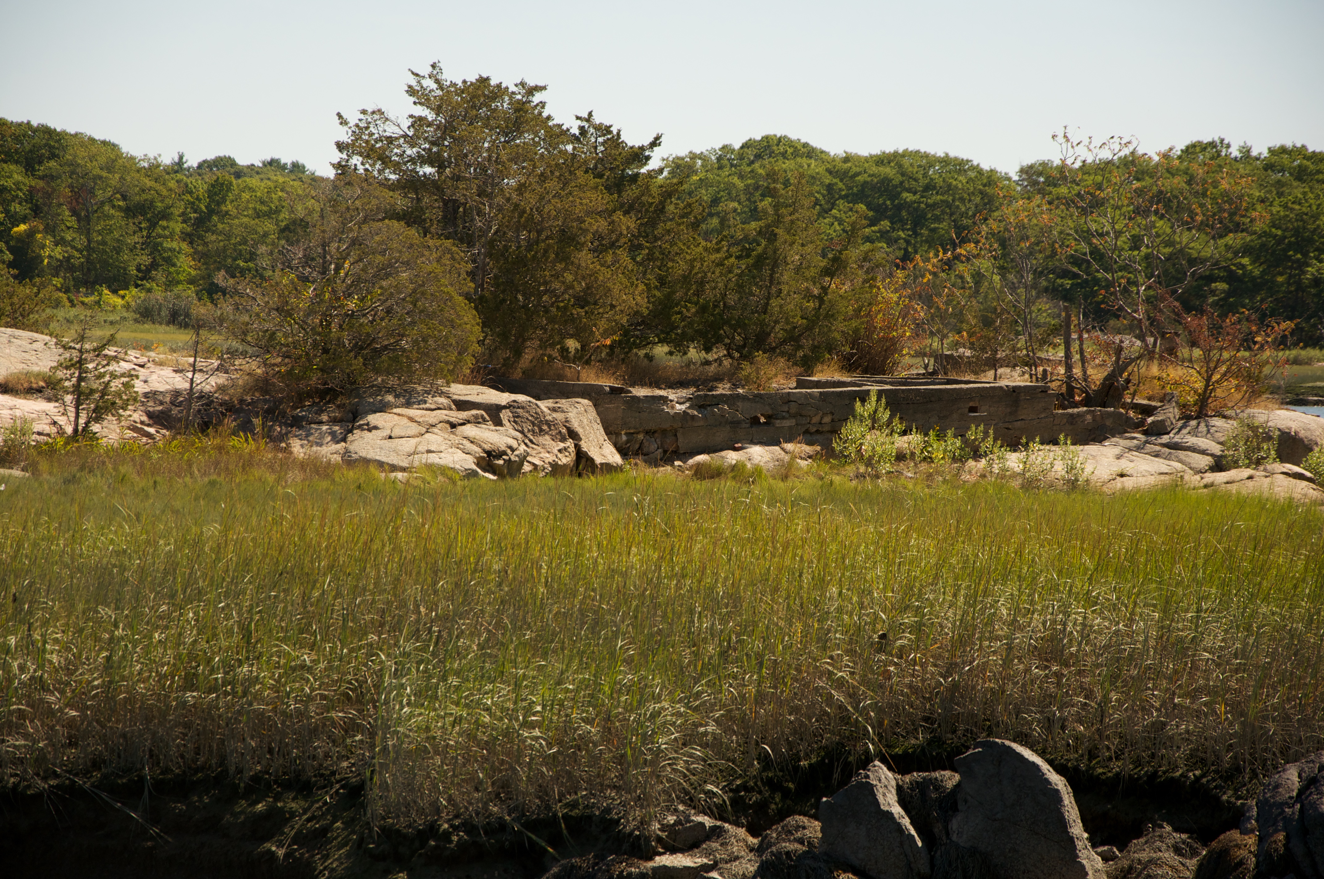
Ruins of a structure are visible on the eastern side of the island. This is said to have been the remains of a pump house, and the summer residence of a Boston merchant named Hans Nilson, who spent his weekends on the island until being found drowned here in 1935 or 1936. Nilson was not the only strange hermit in the area. History also tells us* that the Hermit Captain Smith of Grape Island fame lived on a barge on the Weir River, under the old rail bridge to Nantucket Beach, and not far from the area West of World’s End.
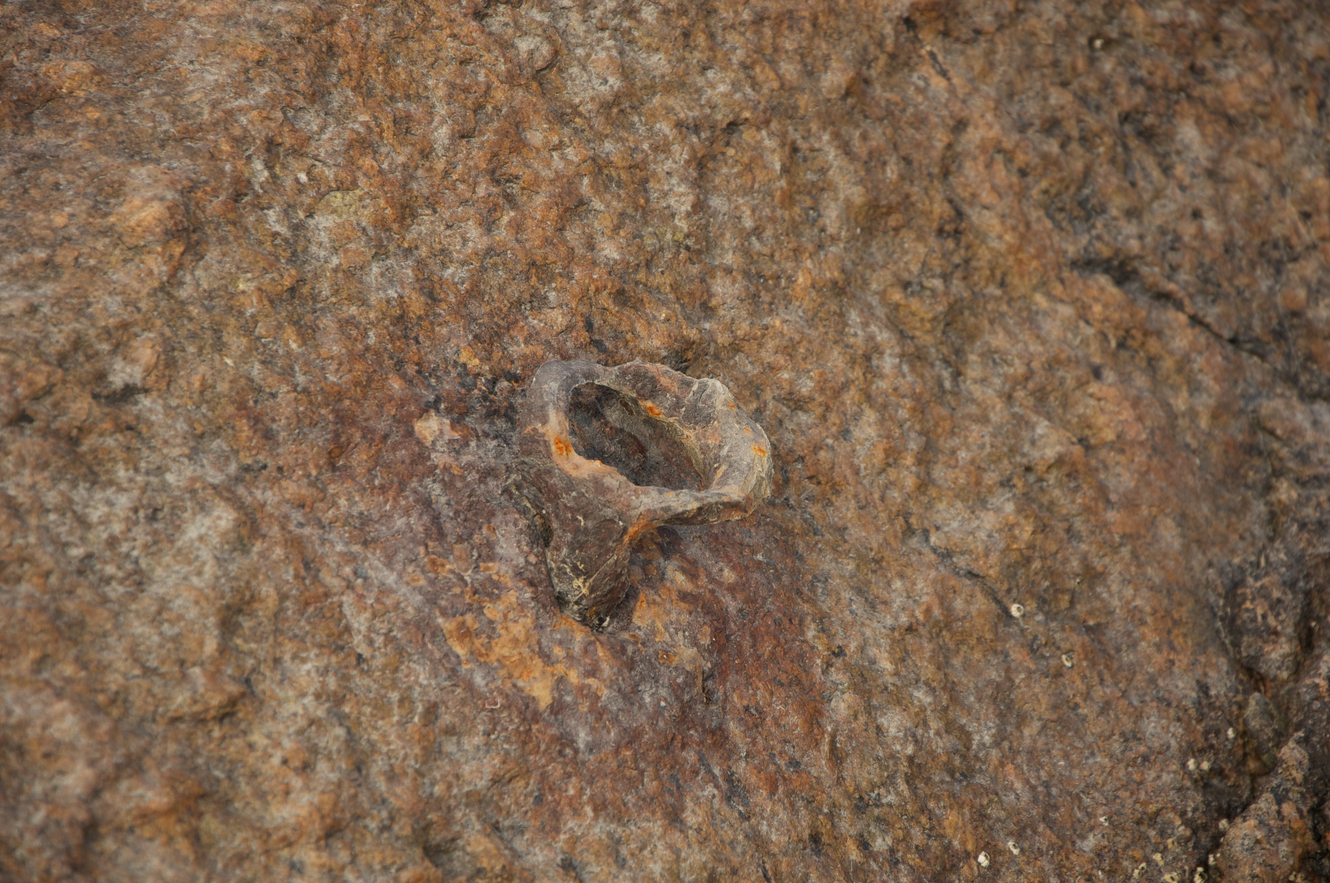
Also located on the west side of World’s End is a location called Ringbolt Rock, which was an area once known for ship building. Evidently the iron ring was used for a tie up for vessels coming through the river. This corroded ring attached to a rock in the area may be the ring bolt that history tells us about:
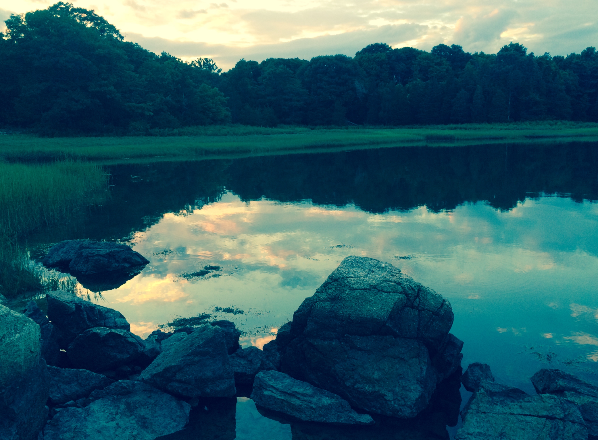
The reflection of a calm night on the Weir River near Ringbolt Rock and the Lincoln Rocks:
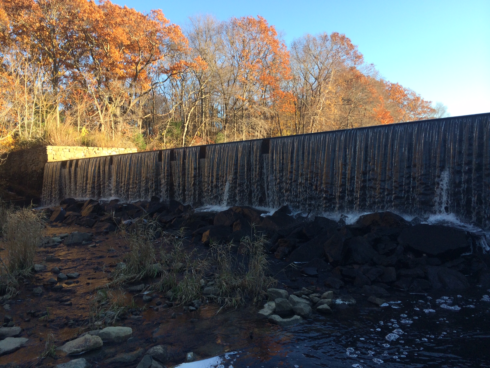
The origin of the Weir River, upstream to the old Iron foundry, today known only as Foundry Pond. Remains of a quarry and a dam can still be seen to this day:
A view of the City of Boston across Hingham Bay and the narrow central neck of Peddocks Island, as seen from World’s End: