The blizzard that hit New England on February 8th-10th was one of the most severe in years and was particularly hard on the coast. Reported wind gusts were >60mph and wave heights as reported by NOAA buoy 44013 (located 16NM East of Boston) were reported as high as 26 feet. Further North, Buoy 44098, located on Jeffery’s Ledge (about 30 miles East of Portsmouth, NH reported wave heights of over 31 feet. Here are a few photos of the storm’s aftermath taken from the South Shore:
Very large waves pound the ice-covered coastline in Cohasset on Saturday 2/9:

Even 12 hours after the storm had passed, waves remained very high, spraying across the shoreline and covering vegetation with ice

Icy rocks:

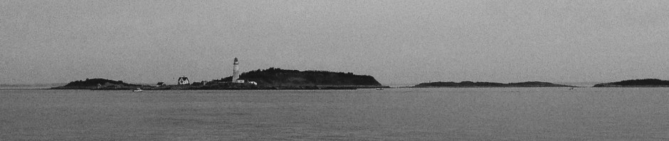
An ice-covered Minot Light in the cloudy distance over a rough sea:

This storm left one big snow pile in downtown Cohasset:

A stop sign that was blown over by the high winds at black rock beach:

Lots of rocks and downed power lines at Black Rock Beach:

A nice sunset on Saturday evening (2/9) after the blizzard wrapped up:


Admiring the hard work you put into your blog and detailed information you present.
It’s great to come across a blog every once in a while that isn’t the same out
of date rehashed information. Wonderful read! I’ve saved your site and I’m including
your RSS feeds to my Google account.