A view of Chappell Rock on an overcast day, with a view of the city in the background:
 The area of Northwestern Quincy known as Squantum is a marshy peninsula separating the Neponset River from Quincy Bay. It derives its name from the Native American Tisquantum (Squanto), who is said to have accompanied Myles Standish to visit the Massachusetts Chief Chickatawbut in the year 1621. From this location on the western end of Boston Harbor, one can take in good views of Thompson Island, and even walk there at low tides (although this is dangerous and not recommended). Nickerson Park is located on this Northernmost point of Squantum and has some trails and good views of the city skyline and nearby Thompson Island. It is at this point where the only road access to Moon Island and Long Island begins.
A sweeping view of Thompson Island from the bluffs on Nickerson Park in Squantum, Quincy, MA:
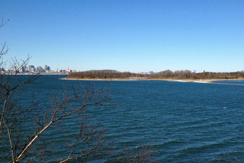
The view to the Northeast from the park, with Spectacle Island and Long Island in view across Western Quincy Bay.

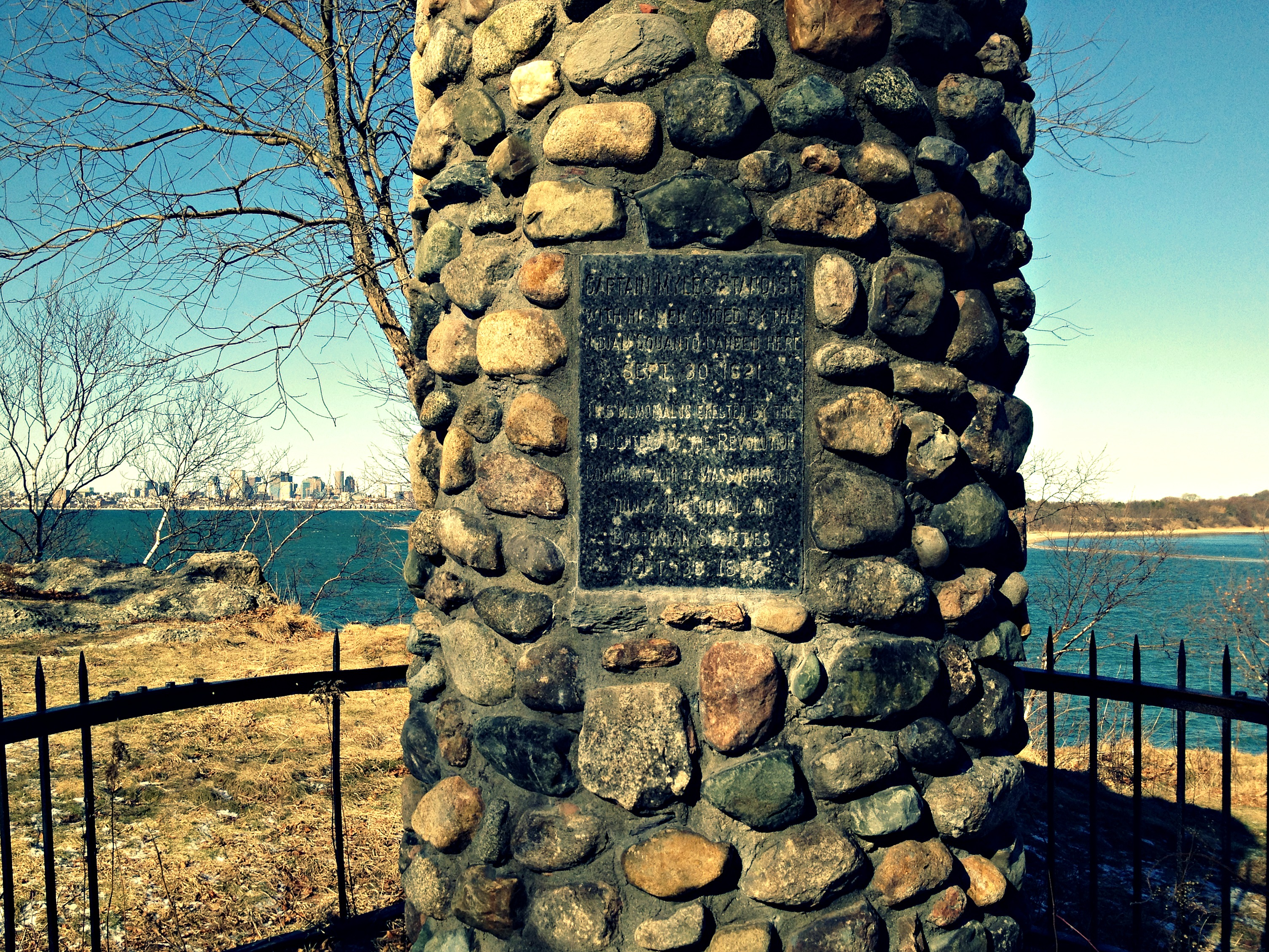
A monument commemorating the location where Myles Standish landed on September 30th, 1621 guided by Squanto.
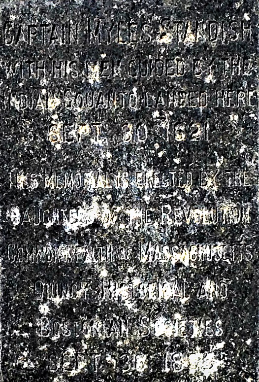
The placard on the cairn up close, clearly weathered having been in place for 150 years:
Pictured below is Chappell Rock or Squaw Rock. This large outcrop on the northern end of the park is where Myles Standish is said to have landed in 1621. To the left one can see Spectacle Island, which looked very different in this 1929 vintage photo from the Boston Public Library Collection, which was taken from a similar location. From Squaw Rock, Thompson Island is only separated from the mainland by a small channel at low tide, as a large sandbar emerges. Boaters out of nearby Marina Bay may be tempted to bring a small boat through this channel at high tide to cut through and bypass the rounding of Thompson Island. This is not a recommended move, as one can still see the ocean’s floor even at high tide when passing over the bar. When visiting Nickerson park, it is important to keep in mind that some of the higher parts of the park have very steep and sudden drops where the protecting fence has deteriorated over time, leaving a dangerous situation and even the risk of a deadly fall.

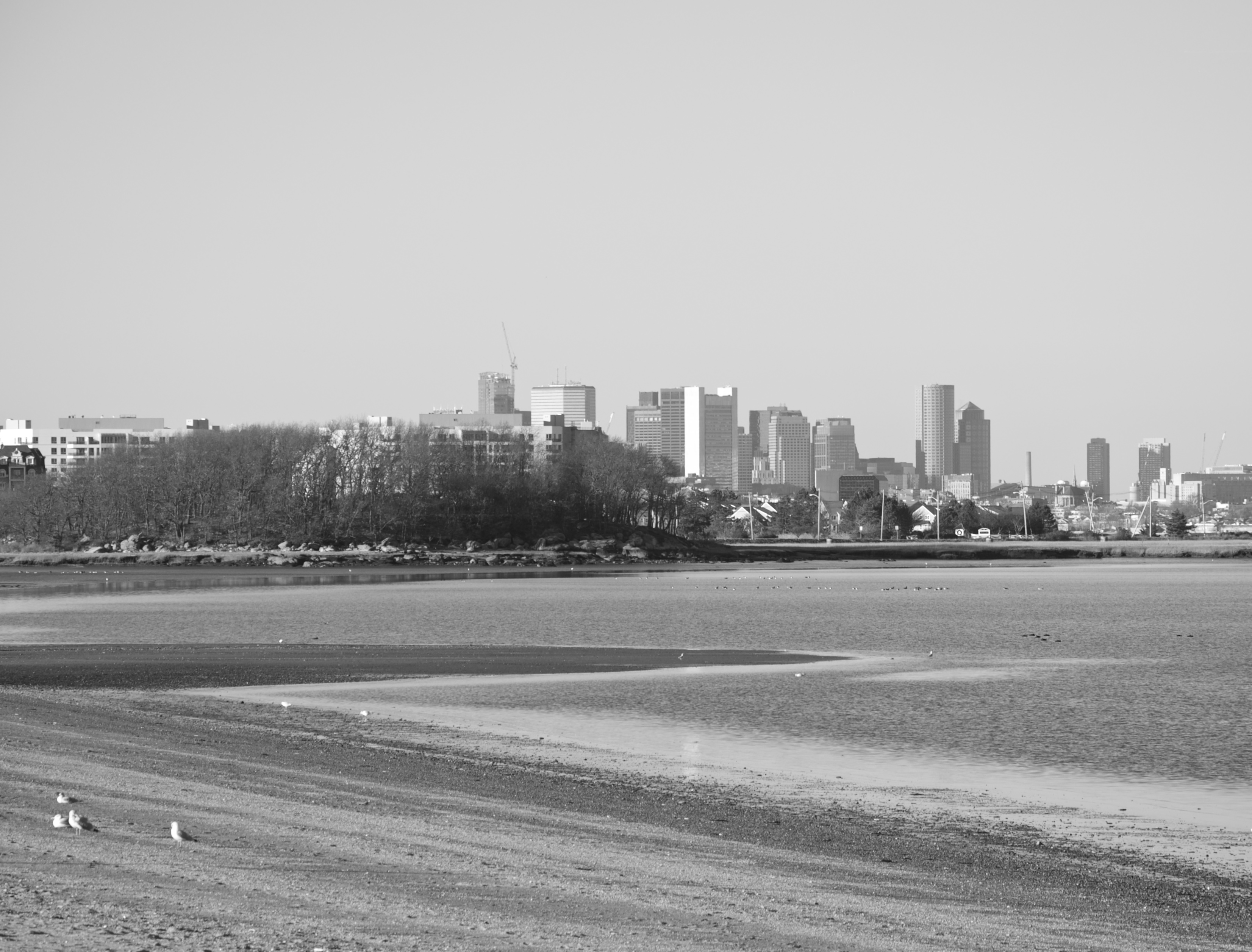
The skyline of the City of Boston from the highest point on Nickerson Park, with Thompson Island visible to the right:

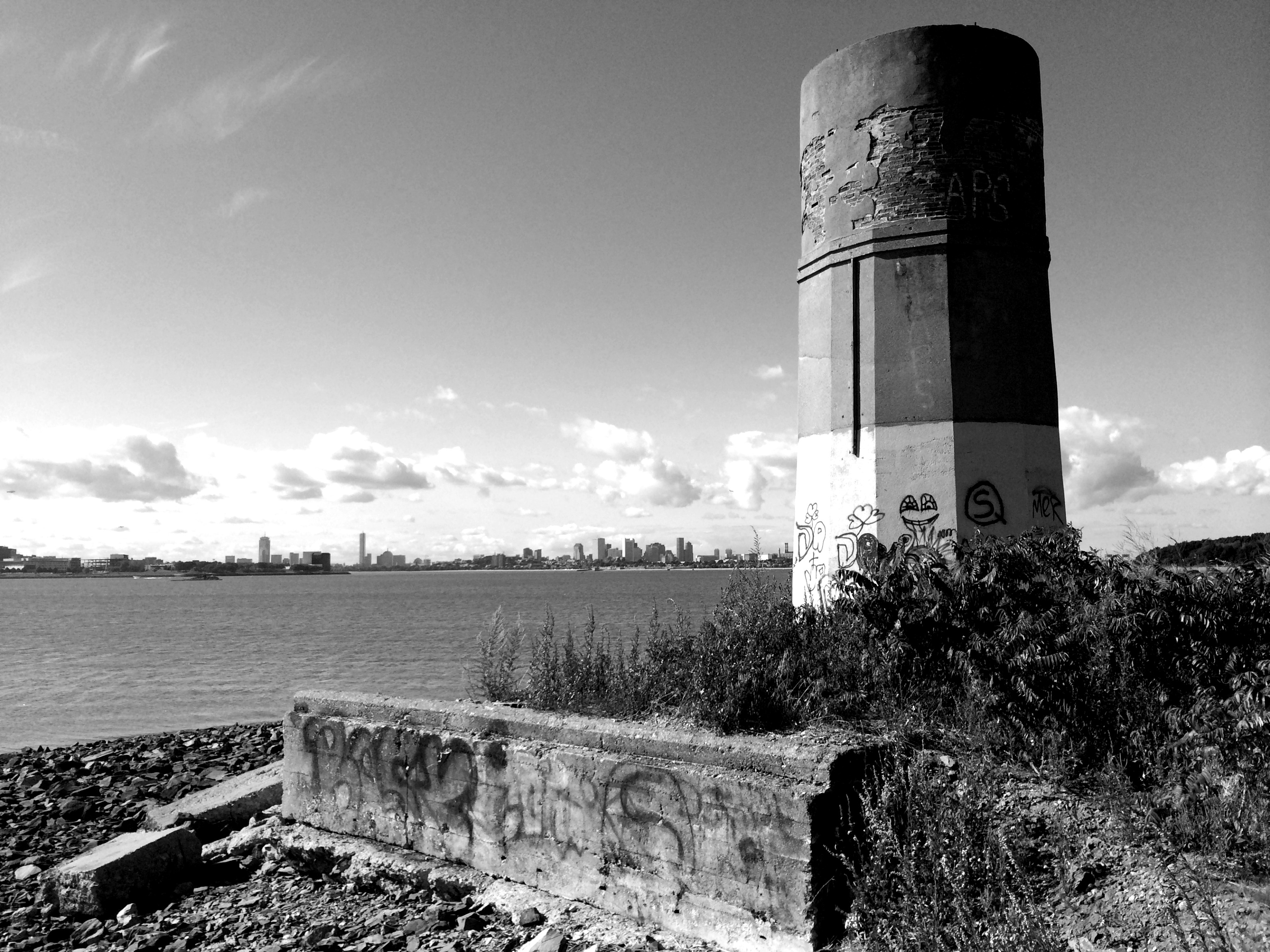
Also located close to Nickerson Park is the remains of the east shaft of Boston’s old, long abandoned Moon Island sewage system. From the mid 1880s until the 1960s, sewage was pumped under Dorchester Bay to Squantum and then out to Moon Island to be discharged with the outgoing tide. Pictured below is the remains of shaft at Nickerson Park:
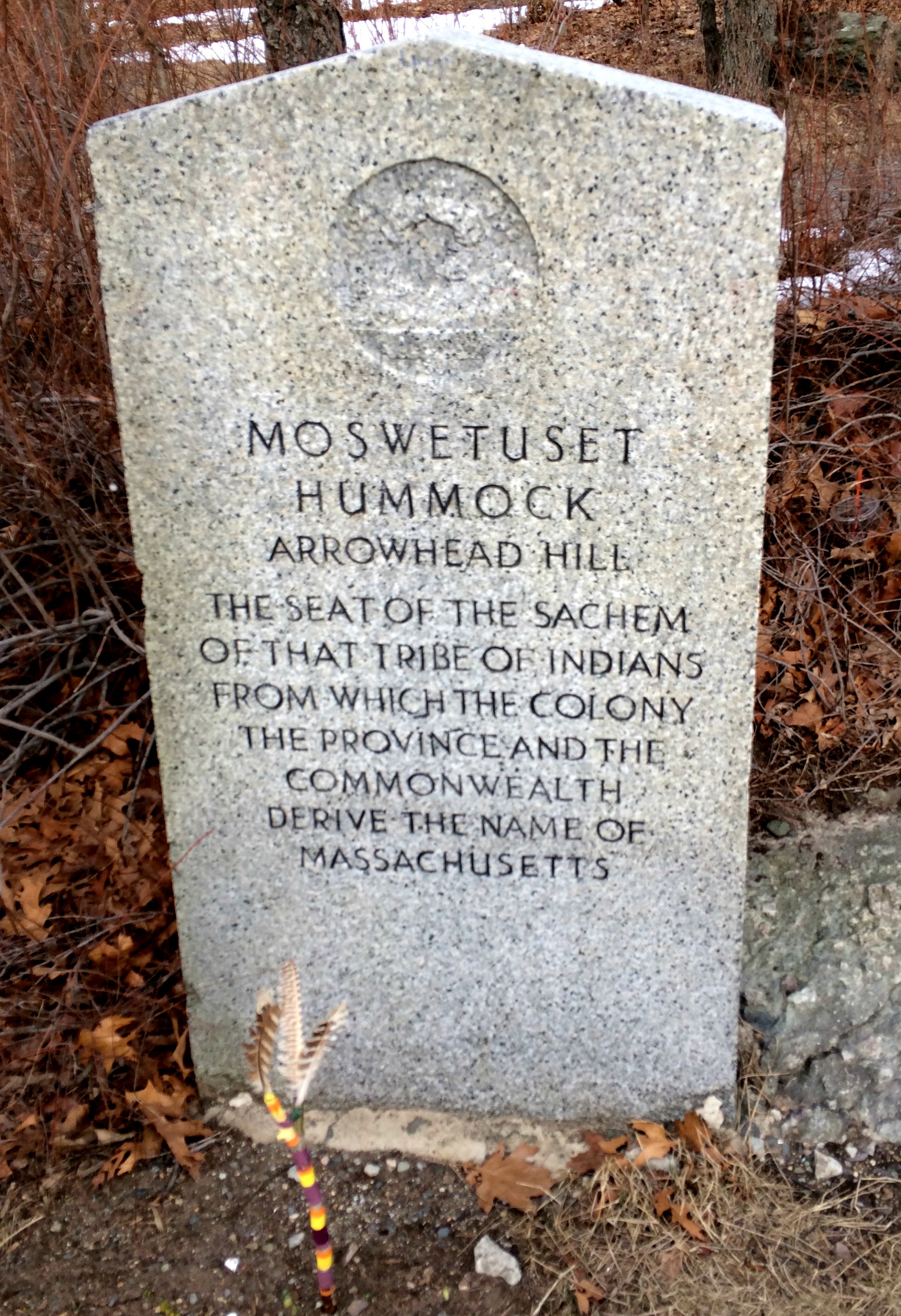
Moswetuset Hummock is a small hill surrounded by the shallow marshlands of Squantum. It is said that this place was the seat of Chickatawbut, chief of the Massachusett tribe for which the state is named. After landing at Chappell Rock, Myles Standish is said to have visited Chief Chickatawbut at the Hummock. Today, there is a sign marking the location of the Hummock just off Quincy shore drive.
Moswetuset Hummock in the foreground, as seen from Quincy Shore Drive in Squantum:
A monument to the location is pictured below: