Highland Light sits on the highest dunes of North Truro on outer Cape Cod. It is appropriately named, as these dunes reach heights of over one hundred feet in some places. The lighthouse was built in 1797 in response to the great number of shipwrecks occurring on the desolate sandbars and shoals of the outer Cape. The lighthouse was since moved inland due to erosion, but its original location nearby is still visible today:

Sitting at a total height of 168 feet above the mean sea level, the lens should be visible for about 22 nautical miles to sea in good conditions. The lighthouse was once fitted with a fifth order fresnel lens- the most powerful of its kind. The lens has since been replaced with a more modern by less powerful one. As result of its prominence above sea level, it had often been the first sign of land to be seen by mariners approaching the New England coast from Europe. It was documented that the standard practice of mariners- from colonial days through the 20th century- coming to the Boston area from Europe would head South of Sable Island until they saw either Cape Cod’s Highland Light or Cape Ann’s Thacher Island Light on the horizon.

The lighthouse was originally built by the orders of General George Washington in 1797 in response to the great number of shipwrecks in the area. As Henry David Thoreau discovered during his July, 1855 journey to Truro, had once been incorporated as “Dangerfield” in 170o, likely because of its location’s danger to passing ships.
The location of Highland Light on a nautical chart of Cape Cod. This area is where the Cape’s shore begins to shift to the Northwest. It is known for its high dunes, sandy shoals and strong surf pounding desolate beaches :

Source: NOAA Nautical Chart. See disclaimer at NOAA.gov
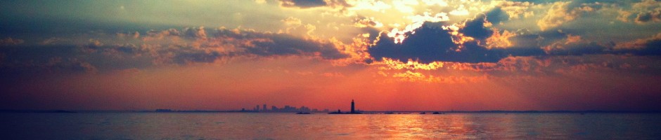
A hazy view of downtown Provincetown from across the dunes. The top of the highlands provides a great view not only of the Atlantic Ocean, but other parts of Cape Cod as well. The monument at Provincetown is particularly visible in the distance:

An wide ocean view looking East from high up on top of the dunes near Highland Light. With the dunes being about one hundred feet above sea level at this point, it is easy to lose perspective of the sea below- the waves in the photo are 3-5 feet tall:

Highland Light as seen up close from its base. While the lighthouse may be portrayed as glistening, bright and white in post cards, note the grit and dirt that can be seen on its base from the years of exposure to the North Atlantic Ocean:

Below is a view of the North Truro Air Force Station, which is adjacent to the Highland Light area. This location was ideal for a large radar system given its high cliffs overlooking open water. It is said that the radar dome at this base is powerful enough to monitor the entire North Atlantic, and was a strategic tool of the military during the Cold War. The castle-like tower to the right of the radar structure is the Jenny Lind Tower. As the legend goes, famous opera singer Jenny Lind once climbed the tower to sing, thereby averting a riot that was about to occur by those shut out of her sold-out show. The tower was moved here is 1927 by a wealthy land owner, for what reason God only knows.

A gritty shot taken from sea of a yacht passing the highlands, with the radar tower and Highland Light distantly visible:

The lighthouse in its current location moved back from the water, looking West. Also visible in this photo is the museum, which is open for visitation seasonally. For more information about the museum, check out the Truro Historical Society web page.


