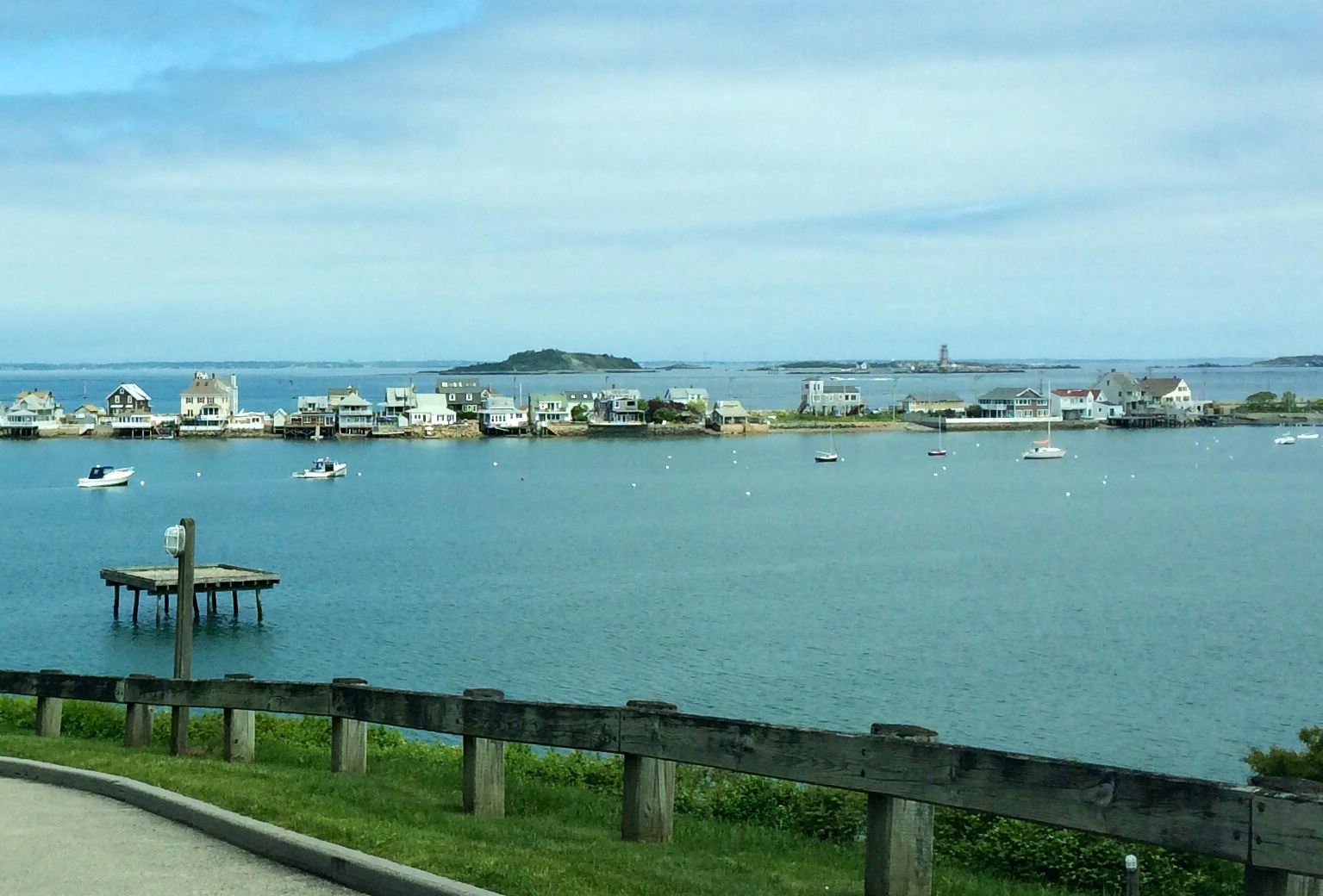
Once known as Hog Island, the island now known as Spinnaker Island lies south of Point Allerton, Hull in the Northern section of Hingham Bay. Today, the island is connected to the mainland via a long causeway. The island was renamed Spinnaker in the late 1980s when it was purchased by a developer and turned into condominiums and a marina. Pictured below is a south-looking view of Spinnaker Island as seen from the top of Fort Revere in Hull:

Like most of the other Boston Harbor Islands, Hog Island was once used for military operations. Remnants of the island’s fortifications at Fort Duvall are still visible around the modern residential buildings on the island. It has been said that the battery casemate at the Fort was too difficult to demolish, so instead it was kept in place and built around. This is not surprising when considering these fortifications were built to withstand an enemy attack.
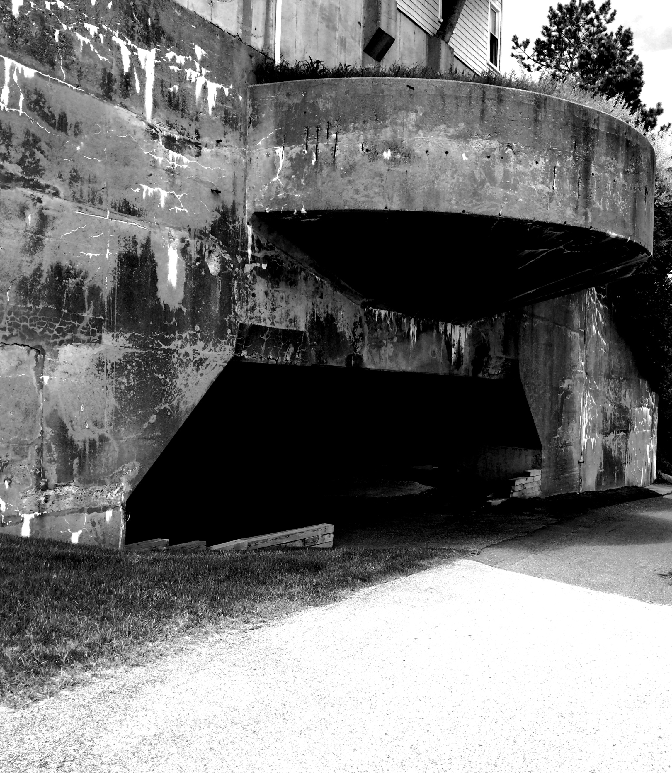
A view of Modern Spinnaker Island, with the Battery Casemate of Fort Duvall visible below:

The wartime operation of Hog Island certainly impacted civilian life around the town of Hull. This was particularly documented by an article* describing one afternoon in September 1942, when the guns at Fort Duvall did a practice drill, firing massive 16-inch shells at targets offshore. More than two thousand residents of Hull had to be evacuated for the drill, and many residents returned to find windows that were shattered by the force of the blasts. Thankfully these big guns never had to be used, but they were certainly ready to defend the City of Boston in the event of a coastal invasion.
The main battery casemate at Spinnaker Island up close:
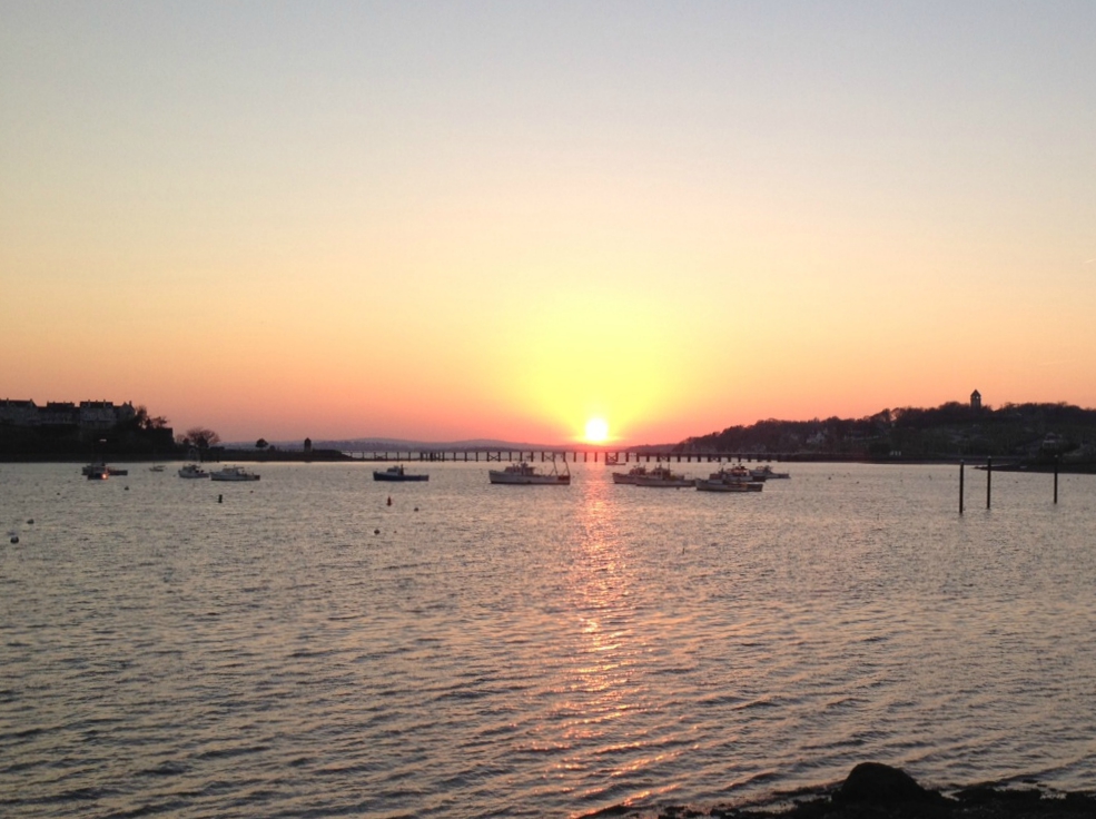
Following the end of WWII, Fort Duvall was decommissioned, and its space was used as the fire control and radar system for a nearby NIKE missile system located on Weymouth Neck (what is now Webb Park). Pictured below is a view from Spinnaker Island of the narrow neck of Hull, with the Brewsters in the background:
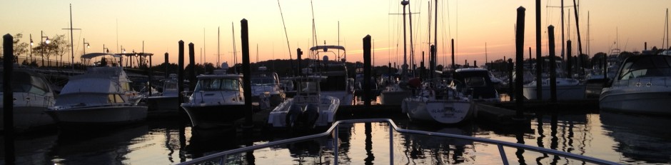
Below is a view of the sunset over Spinnaker Island. This view, looking southwest from mainland Hull is taken from a location near the Hull Yacht Club. Spinnaker Island provides a natural barrier around the area of Allerton Harbor protecting the docks and moorings at Hull Yacht club from more open water. However, boats transiting this area must beware of the long shallow bar which extends east from the southeastern end of Spinnaker Island. Below one can see Spinnaker Island to the left, the long causeway in the center, and the silhouette of Blue Hill in the distance. Fort Revere’s water tower is visible to the right, protruding from the top of Hull’s Pemberton Point.
 *Windows Smashed at Hull as Army Fires 16-in. Guns. Boston Daily Globe, Sept 5, 1942.


Glad they saved Fort Duvall. Too bad the MWRA couldn’t have kept at least the 90mm battery at the end of Deer Isle. There was no reason to tear that up. nothing there now. History gone.