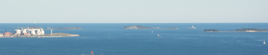
On a clear Boston day, one can stand near the city’s waterfront and see the silhouette of Great Brewster Island’s dunes, far offshore in the outermost reaches of the harbor.

The wild island: Great Brewster Island is a deserted landscape: its rocky beaches give way to fields covered in tall grasses which blow in the ocean breeze. Towering sand dunes, overgrown with brush and wildflowers, offer sweeping views of the distant city skyline to the West and the Atlantic Ocean to the East. These dunes are also home to nesting birds that are so unfamiliar to the rare sight of humans that they often aggressive. The island’s exposed East Side is lined with the broken ruins of a WW-II era seawall which gets lashed by incoming Atlantic swells on rougher days. In this way, Great Brewster is a wild island- overgrown, unkempt seaside wilderness, where it is seems incomprehensible that a major city lies less that ten miles to the West.
From the top of the island’s great dunes, one can get good view of Boston light in the distance, obscured by Great Brewster’s patches of overgrown brush and wildflowers:

A deserted landscape and broken seawall, the view upon landing on Great Brewster Island’s barren Eastern shoreline:

An unobstructed view of Boston Light from the Dunes, with the South Shore towns of Scituate and Cohasset far in the distance:

About Great Brewster Island: Named for William Brewster, the first preacher of the Plymouth Colony, Great Brewster is the largest of four islands in the chain that bear this name. I have written about these islands before in a previous post. At over nine miles East of the City, this distant island lacks a public dock or any source of public transportation or ferry service. Additionally its remote location and rugged geography make it a challenge to visit. However, if you have access to a boat and a day with calm condition, a trip to this beautiful wild island is worth making.
The views: From the top of the island’s great dunes, one can get good view of Boston light in the distance, obscured by Great Brewster’s patches of overgrown brush and wildflowers. Great Brewster Island contains two drumlins: The large northern Drumlin has eroded away into a large steep dune, which can be seen from miles away, even the South Boston Waterfront or from skyscrapers in downtown Boston. At over one hundred feet, this is the highest naturally occurring place on the harbor (Spectacle Island‘s main drumlin is slightly higher but this Island was not totally naturally created). In this view, both Calf Island and Middle Brewster are visible:

Looking down from the dune after anchoring offshore, on the East Side:

A view of the ruins of an old summer cottage and its chimney on nearby Calf Island:

Gazing across Great Brewster’s wild grassy landscape, one can see the city skyline far in the distance, giving some perspective on the island’s remote location. This photo was taken in the center of the island, the area between its two large drumlins.

Access: The pathway from the center of the Island between the drumlins (where the sign pictured below is located) is unkempt and not frequently mowed by the park service. This adds to the wild, rugged feel of the place, but explorers should take caution and wear long pants due to the presence of poison ivy, sumac and the risk of tick bourne diseases. Finally, the hike to the top of the dunes is somewhat strenuous, so you better be in shape. (See more below at the end of the article about getting to the island by boat).

Heading out toward Great Brewster from the West, its large dunes of the North side of the island come into view, as does nearby Boston Light:

The Dunes: While many of the harbor islands have dunes, some of them large like Peddocks, Great Brewster has the largest and most pronounced dunes of any of the harbor islands. A view of the dunes on approach to the island:
Walking along the beach near the dunes:

Looking up at the towering dunes from down at the beach:

Here is the view from the top. There is a precariously perched bench up here (seen in picture) which should not be accessed due to erosion. Upon reaching this part of the island, located at a fenced in area at the top of the trail, hikers should use extreme caution due to the unmarked and steep drop offs. It is a long way down from the top of these dunes!

The view of nearby Little Brewster Island, upon which Boston Light is located. These islands come close to being connected by an exposed spit at a very low tide:

Ruins of WWII infrastructure: Like most of the other island, Great Brewster was used by the military during WWII and contains ruins of the military facilities to this day. A large seawall was constructed to protect the island given its unprotected isolated location of the Eastern edge of the the harbor. The Atlantic Ocean often lashes this seawall, but on some calm days like this one, small swells lap gently against the wall. The seawall remains largely in tact on the North side of the island, but on the East side, it has crumbled. A portion of the Northeastern seawall is visible below:

With its Eastern location, the island was useful during WWII. However, its rugged terrain prevented too large of a facility from being built. The island contained at least one battery, and a mine casemate which was used to control several of Boston’s offshore mine networks. These were used to protect the harbor from Nazi submarine attack, which judging by the amount of fortifications built, the US was quite concerned about. The foundation of a WWII era building below, with the city visible in the far distance:

Nesting Birds. Like many of the more remote outer harbor islands, Great Brewster has a large seagull population. These birds nest on the island and are not used to seeing humans. As such, people should stay on the trails and avoid the birds nesting area. While on the trails, the birds do tend to leave visitors alone. However, the birds will let you clearly know when you have gotten to close to a nest. The park service recommends that people avoid visiting this island, along with the other outer islands (Calf, Middle and Outer Brewster) during bird nesting season. These birds were not happy to see me:

Visiting Great Brewster Island: The island is wild and beautiful, but not particularly friendly to visitors due to the distance from the city and the terrain (not to mention the birds)! There is no dock, and anchoring off the West side it tricky as one needs to navigate around the large spit which is one of the most dangerous spots on the harbor. Moreover, a typical fair weather southwesterly wind create rough conditions here due to the long wind fetch on the Island’s West side. The East side is rocky and hazardous and will not be accessible if there is any ocean swell. However, on a clear day, it is possible. For more detail, see the NOAA nautical chart below.

Source: NOAA nautical chart. See disclaimer at NOAA.gov
I spent a nice May weekend day at Great Brewster Island this year, and the last time I came on island here was five years ago. I think once every five years is enough!


