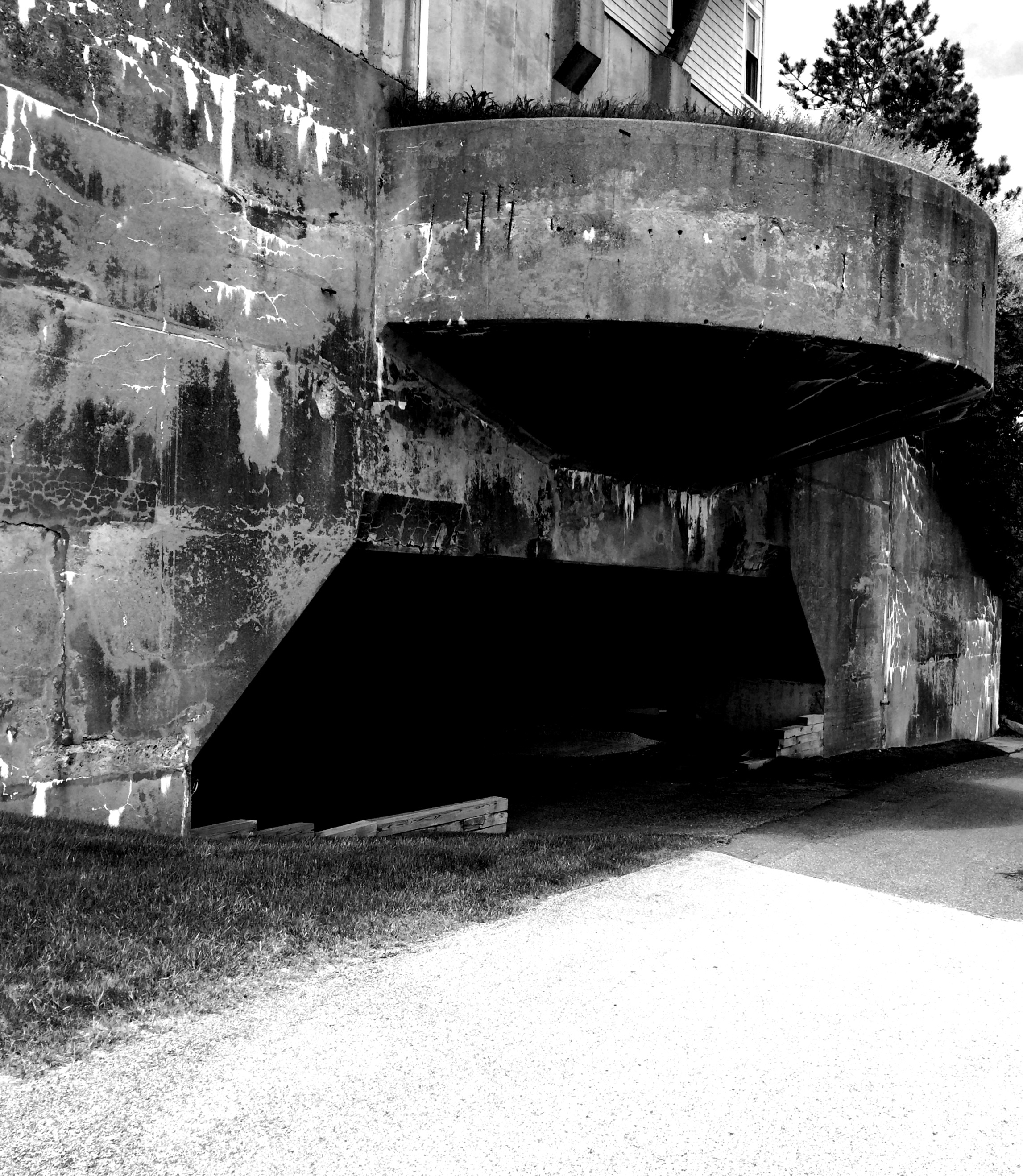
Relatively obscure and not open to the public, Moon Island is only used today for police and fire training activities. However, the island may be most notable for once being the collection and discharge site of Boston’s old sewer system. This system, somewhat effective until outgrown by the city, was temporarily replaced the in the 1950s and 1960s with plants at Nut Island and Deer Island, before the massive modern system at Deer Island was fully operational in the early part of last decade. From a central collection center at the Dorchester Calf Pasture, sewage was collected and pumped through a tunnel under Dorchester Bay to Squantum, and then out to Moon Island via the large, above-ground causeway which still connects Moon Island to the mainland today. The sewage was then collected in pools and discharged at high tide, with the design that the raw sewage would flow out between Long Island and Rainsford Island, and then out to open ocean through Black Rock Channel. As Boston’s population grew over the years, this system lost its effectiveness, resulting in reports sewage washing up on shore. Some relics of this old system can still be seen around Moon Island today.
Designed and approved in 1875, the first phase of the the project- a tunnel under Dorchester Bay-was completed by July 1883. The land purchased by the city on Squantum for the plant was said to previously been a farm owned by Elijah Davis. City Sewer connections were made in early 1884 and the system was substantially fully operational by 1885. Reports about the system published in 1897* stated that 7,416,000 bricks and 32,277 barrels of cement were used to complete the project. Various estimates of the total cost are cited, but it was said to be over six million dollars at the time. The use of the system was discontinued in 1968 but made available for emergency overflow operations for several years thereafter. Relics of the system can be seen on and around Moon Island today.
* “Sewerage System Completed” Boston Daily Globe, January 16, 1897
An operational overview of the old sewage system is described in great detail in an 1888 publication called “The Main Drainage Works of the City of Boston” which was published by Rockwell and Churchill and written by Eliot C. Clark, the Chief Engineer of the city at the time. This publication includes some great historical photos. Similar to the photo at the top of the page, below are two views of the large granite-walled pools which would collect sewage until it was ready to be discharged into the harbor with the outgoing tide:

Several vintage views of the facility when it was brand new can be seen opposite p.83 in the Main Drainage Works of the City of Boston.

The remains of two outflow pipes on the Northwest side of Moon Island, where the sewage would be released with the outgoing tide. This photo is taken near low tide, the openings are submerged at high tide:

A clip from The Main Drainage Works of the City of Boston, showing the main station located at the Calf Pasture in the background, and the brick pumping house on the edge of the bay. This photo was taken during a winter (note the frozen bay) some time in the 1880s, between the pumping station’s construction, but before this publication in 1888:

Source: The Main Drainage Works of the City of Boston, Plate XVIII, (opposite page 68). Photo believed to be in the public domain by nature of publication date (1888).
The remains of the old pumping house (East of the main station on the shores of Dorchester Bay) at Columbia point as it stands today:

A closer view reveals cracks in the wall and a roof that has partially caved in:

The old Calf Pasture pumping station (located in the background of the 1880s vintage photo three above), as seen from the vicinity of the JFK library on a winter day:

Below is a distant view of the pump house as seen across Dorchester Bay from the system’s East Shaft on Squantum. A little known fact is that the rock outcrop in the middle- known as “Thimble Island” on charts, is actually the middle shaft of the old sewer tunnel under Dorchester Bay, as is outlined on the diagram opposite p.74 in the Main Drainage Works:

A modern day fire drill in progress at the fire training facility on the North side of Moon Island, as seen across the Western Way from Spectacle Island. On occasion, one can see the smoke rising from the fire test facility on the island. On a calm night, one standing nearby may also be able to hear gunfire from the police shooting range facility that is now located in the old sewer vats:


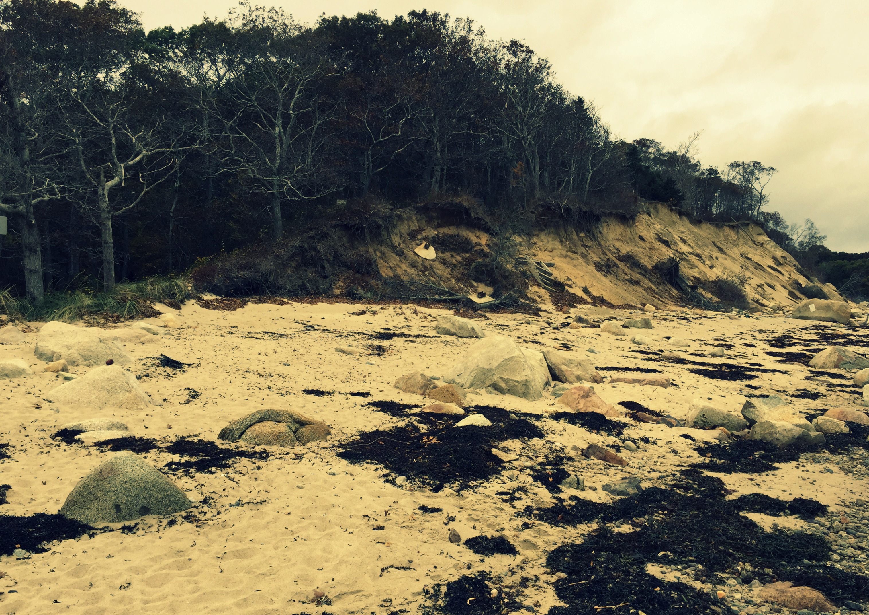
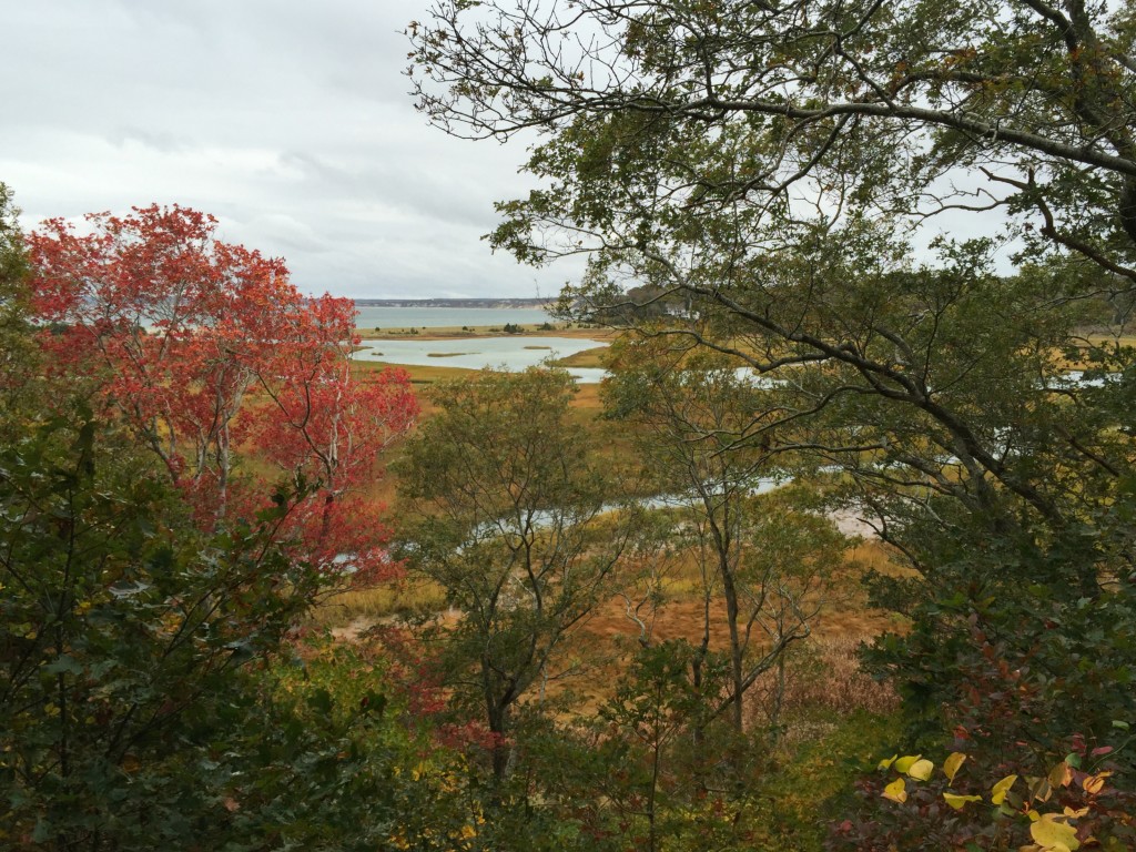
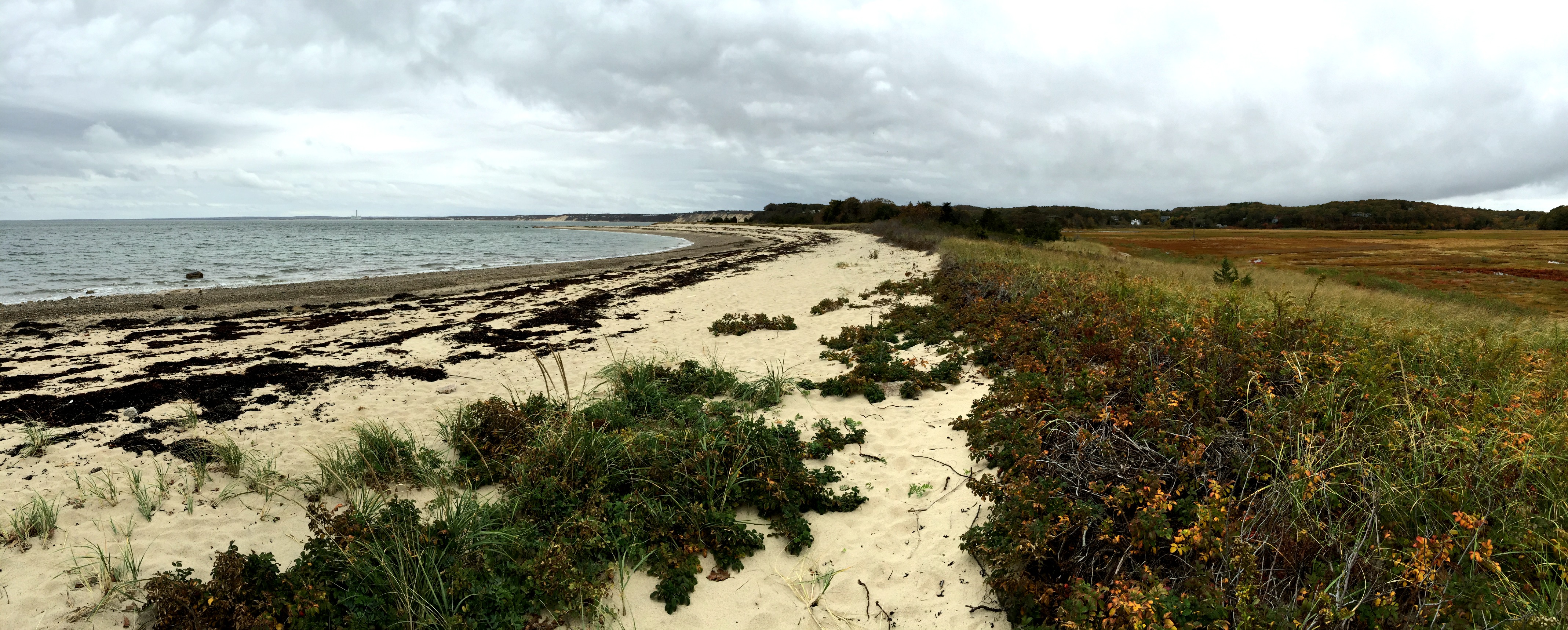
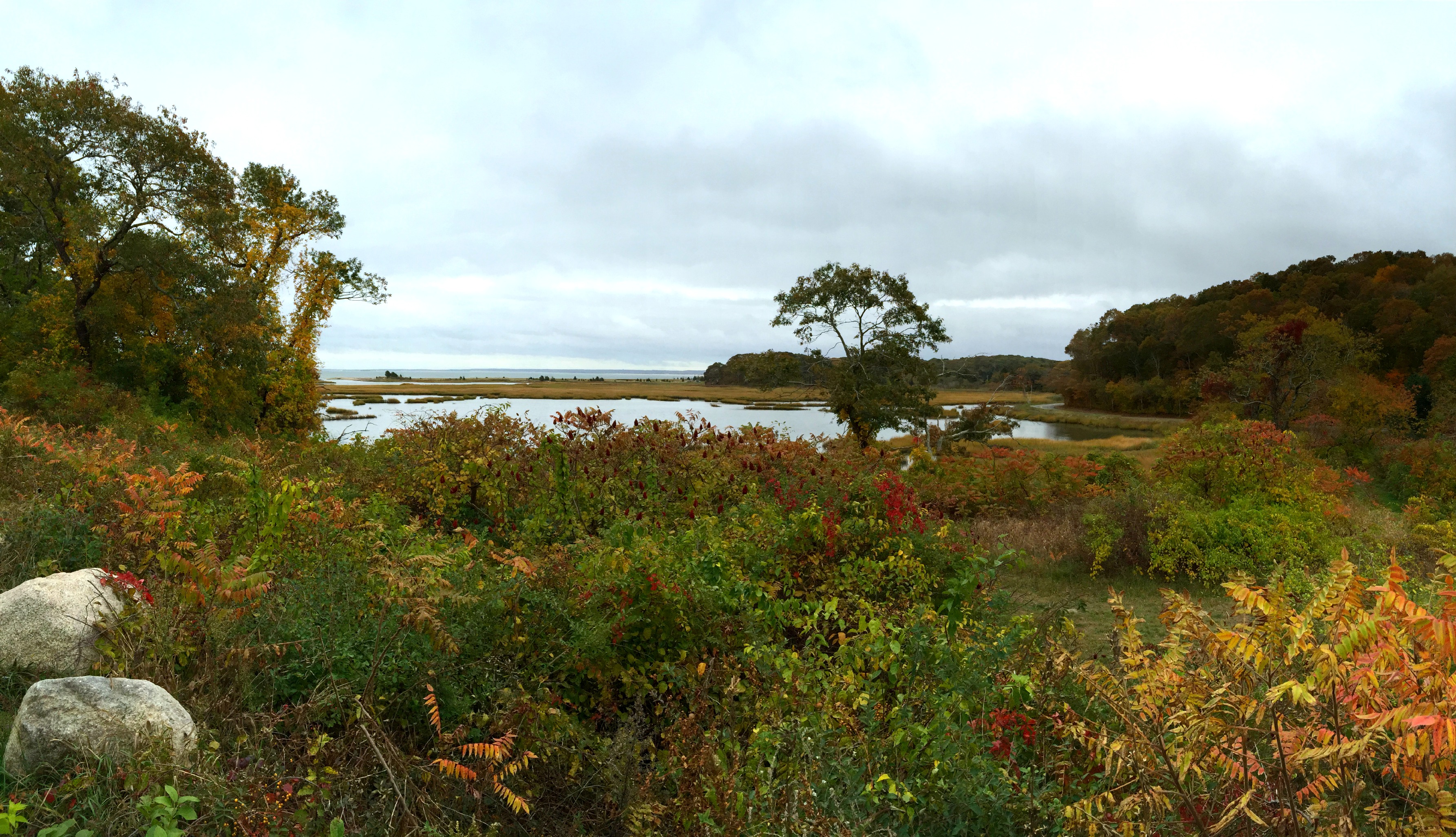
 It is said that this place was a fishing and hunting grounds for Native Americans for thousands of years. However, the inlet is said to have only formed in the 1700s, when it was presumably broken open in a storm. Henry David Thoreau documented a night’s stay at the Ellis Farm when in transit to Cape Cod….that was in June 1857.